
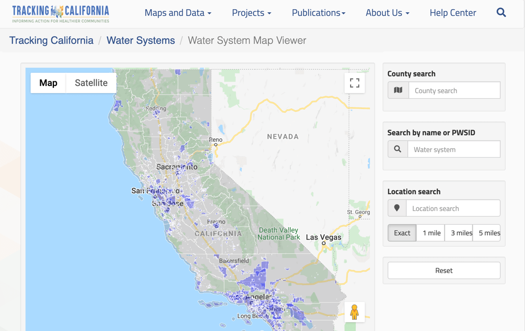
Tracking California initiated and operated the first statewide effort to collect and digitize maps of California's public drinking water systems service areas through the creation of the Water Boundary Tool.
Prior to this effort, many systems only had paper maps, and there was no central location where this information was available for the entire state. Without a statewide digital map of water system customer service areas, it was challenging to answer basic questions about which communities are being served by which systems and what contaminants might they be exposed to.
During the operation of the WBT, Tracking California compiled information for over 4,800 water systems that collectively serve about 90% of the total California population. The maps were accessed by over 6,800 registered users and supported numerous public health activities.
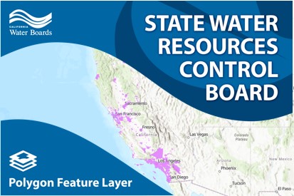
After almost a decade of operation, the WBT was retired on July 1, 2020. This coincided with the CA Waterboards initiation of their own tool development and data collection efforts, which was inspired and informed by the vision and successes of the WBT.
You can still access the service area boundary data via the waterboards or by contacting them at ddw-plu@waterboards.ca.gov

The WBT also served as inspiration for similar efforts in other states.
Thank you for your leadership in the drinking water domain. I have long admired the WBT. Your work inspired me to create a similar tool for the state of Tennessee .... I have been conducting a systematic review of the current state of geospatial representation of US Public Water Systems and your site is coveted by all. Again, thank you for demonstrating that we can have a spatial representation of public water system boundaries - it takes a lot of effort but is worth it!
- Yolanda J. McDonald, Assistant Professor, Vanderbilt Institute for Energy and Environment
Key Project Information
Project Time Period
2012 - 2020
Project Funder
The initial development of the tool was supported by a grant from the CDC National Environmental Public Health Tracking Program. The CDC provided subsequent support for the maintenance of overall Tracking California web portal, where this tool resided.
For several years prior to the retirement of the WBT, Tracking California received funding from the Office of Environmental Health Hazard Assessment (OEHHA) to support data collection efforts, maintenance of the WBT, and limited enhancements.
Project Partners
Project Contact
For more information, please contact info@trackingcalifornia.org
Project Materials
Project Publications
- Development of a Web-based tool to collect and display water system customer service areas for public health action [2015] Michelle Wong, Craig Wolff, Natalie Collins, Liang Guo, Dan Meltzer, Paul English