
The provision of accessible, safe, and convenient public transportation is essential for an equitable transportation system. Public transportation provides transit options for those who do not own or use a personal vehicle, whether due to personal choice (‘car-free’) or due to physical (e.g., age, disability) or financial limitations (‘carless’). Buses and intracity (e.g., metros, subways, or light) and intercity (e.g., express passenger trains, high speed rail) rail should provide all of California’s residents with connectivity between their places of residence with their destinations of choice, whether work, school, grocery stores or leisure activities, such as shopping and dining areas.
Whilst achieving equity in the provision of public transportation has been a transportation goal of the US policy since the 1970s, there are differences in access to and accessibility of public transportation across the geography and demographics of the country. Even in California, which has 18 cities within the top 50 to live without a car, public transportation distribution is not equal, with rural areas XXX.
Encouraging the use of public transportation is crucial to reducing the total number of vehicles on the road, and associated impacts, including pollution and collisions. However, the usage of public transit has been declining across the state for the last fifteen years, with the Covid-19 pandemic causing ridership numbers to fall by nearly 70%. Recovery of public transit users has been slow and uneven18, with numbers returning to approximately 60% of previous volumes. Rising ticket costs, slow speeds, difficulty getting to and from transit, safety concerns, and poor service reliability are key reasons why users have stopped using public transit, alongside increasing availability of rideshare programs.
Demographics in California’s most public transit friendly cities are also changing, with high-income earners moving into cities and areas that are transit friendly to become ‘car-free’. However, this relocation is driving housing and living costs higher around public transit locations and as a result, those lower-income residents - who have a higher propensity to use transit - are moving away from these transit-friendly neighborhoods.
Whilst the high-income owners can be ‘car-free’ and benefit from having access to a hybrid of public transit, rideshare, and vehicle hire schemes, the lower-income households that are car-less – the majority (79%) of zero-car households in California – are left with unaffordable or inconvenient modes of travel (e.g., multiple buses rather than a single light rail trip). These changing neighborhood demographics are another factor driving the decrease in public transit numbers across the state. California is trying to address this growing issue, enacting public policies to increase the supply of affordable housing near public transit whilst also extending existing transit lines, e.g., the Bay Area Rapid Transport (BART) Berryessa line into San Jose.
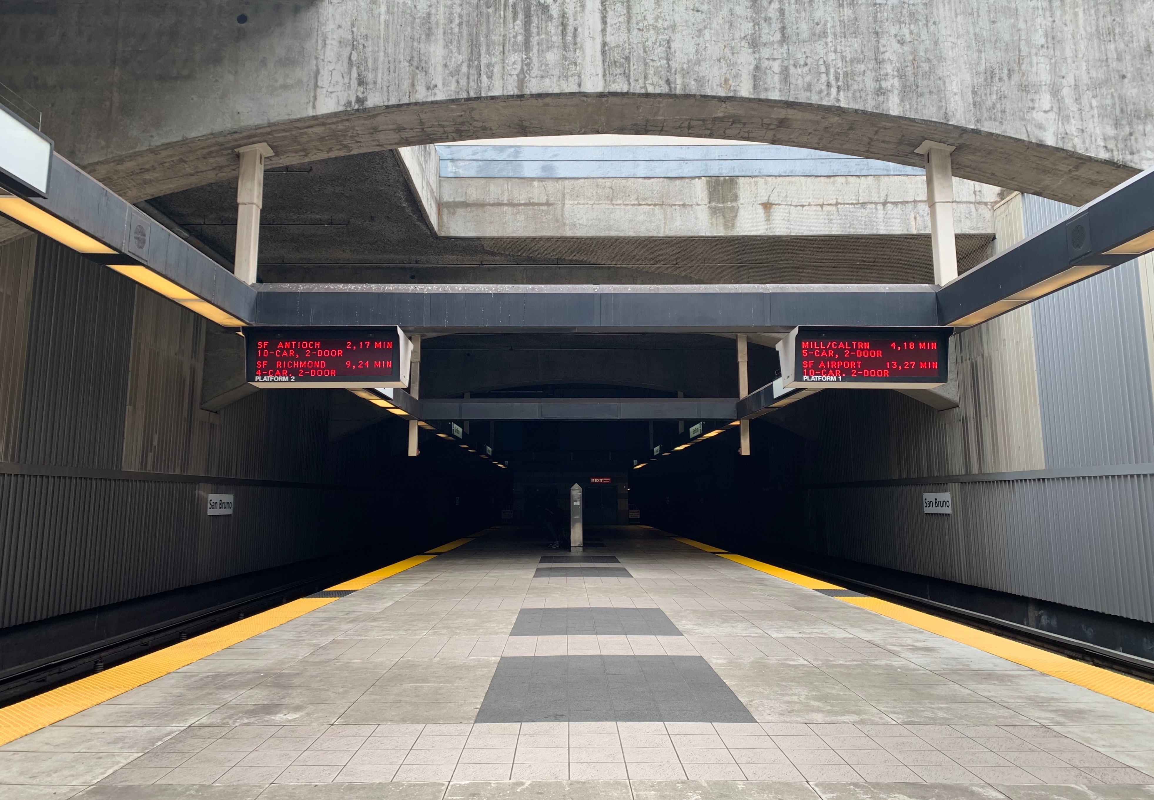
Public Transportation Across California
UCLA Center for Neighborhood Knowledge's Transportation Disparity Mapping Tool: Access to High-Quality Transit Locations Dataset
Funded by the California Air Resource Board (CARB), the Center for Neighborhood Knowledge at UCLA (UCLA CNK) has developed a dataset detailing the distribution of access to high-quality transit locations in California census tracts.
A high-quality transit location is defined as being within a quarter-mile of transit stops with a high level of service during the morning commute, with the quarter-mile generally accepted as the distance a typical person is willing to walk to local transit service. this indicator is the most comprehensive access to transit measure available for California.

The interactive dashboard can be found on their website here .
External Resources
California Transit Association: Transit Operating Statistics
This interactive dashboard from the California Transit Association, in partnership with OpenGov, displays data on public transit usage for California. The tool utilizes data from State Controller’s Office reports dating back to 2003.
California Department of Public Health's Walkable Distance to Public Transit Dataset
The table contains data on the percent of population residing within ½ mile of a major transit stop for four California regions and the counties, cities/towns, and census tracts within the regions. The percent was calculated using data from four metropolitan planning organizations (San Diego Association of Governments, Southern California Association of Governments, Metropolitan Transportation Commission, and Sacramento Council of Governments) and the U.S. Census Bureau. The dataset is provided for years 2008 - 2012.