
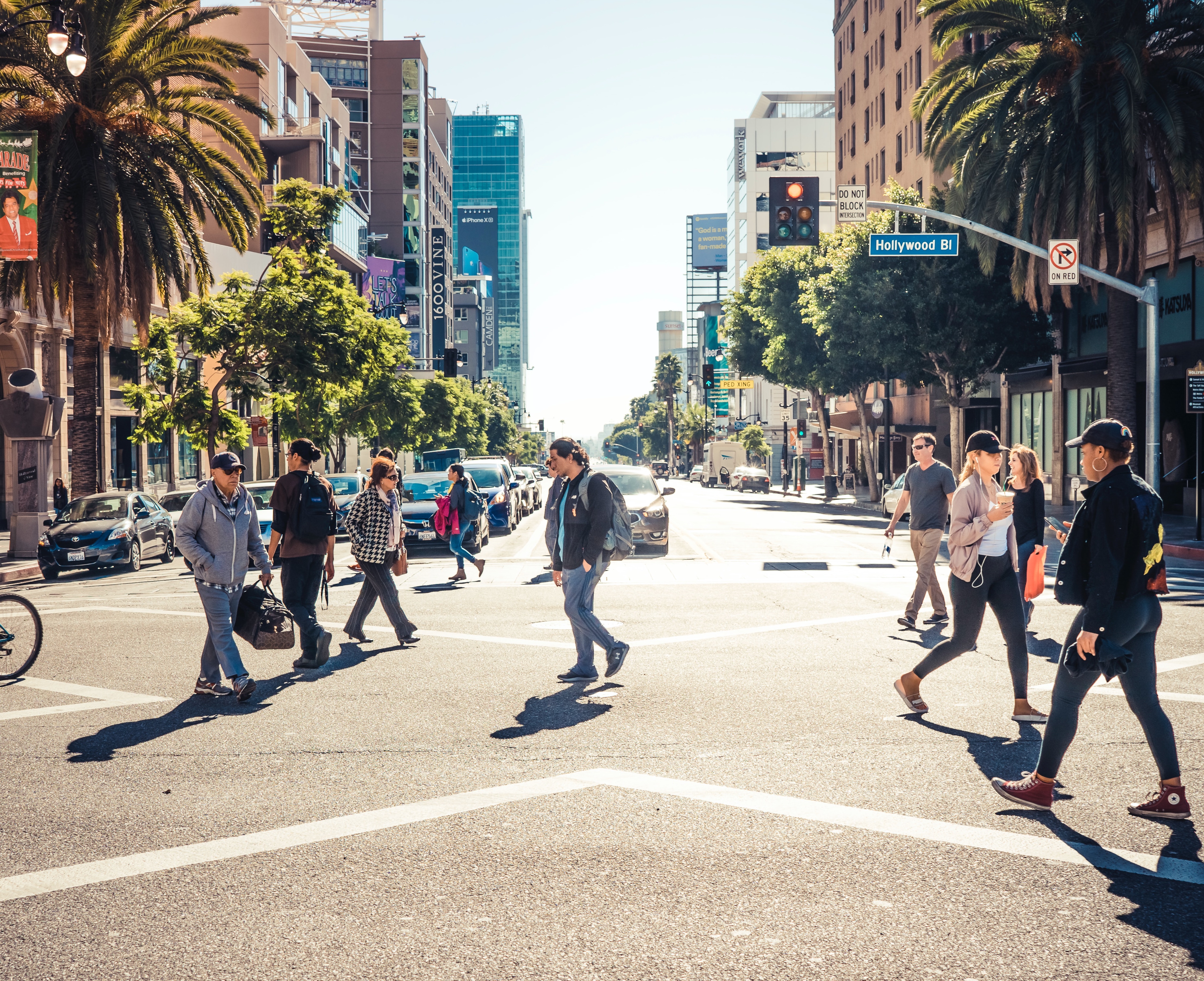
Traffic Collisions Across California
In 2020, nearly 4,000 people were killed on California’s roads; pedestrians represented over 25% of these deaths, whilst 153 bicyclists were also killed. The number of deaths on California’s roads has increased by 40% since 2011, with the number of pedestrian deaths increasing by 60%. Speeding and improper turning (especially left turns) are commonly cited causes of vehicles crashes, to which pedestrians and bicyclists are particularly vulnerable. Nationally, costs from vehicle crashes total over $400 billion dollars each year. Most of these collisions over the last decade (2011-2019) have occurred in urban areas and on non-state highways, i.e., arterial and local roads.
Systemic racial bias in transportation infrastructure makes roads in communities of color more dangerous for multiple reasons, including busier roadways, underinvestment in transit and pedestrian infrastructure (such as segregated bicycle lanes and sidewalks), lower implementation of traffic calming measures and traffic reduction measures (such as Low Emission Zones and Slow Streets), disproportionate traffic stops, and bias in driver interactions with pedestrians. Fatal traffic collisions involving pedestrians and bicyclists disproportionately affect Black, Native/Indigenous and Hispanic as well as lower-income communities across the state. Despite constituting only 5% of California’s population, 12% of pedestrian fatalities are Black Californians. Furthermore, fatalities per mile traveled are higher for Black and Hispanic populations across all modes of travel, including vehicles, walking, and bicycling .
These fatal and serious crashes typically cluster around “high injury corridors”, segments of roadway known to be dangerous that experience high levels of crashes. This is often the result of a volatile mix of poor infrastructure (e.g., limited number of safe pedestrian crossings, wide roadways, vehicle-oriented infrastructure) and high and/or fast traffic volumes. High injury corridors are more likely in communities of color.
Additionally, rural areas have a higher fatality rate (measured as fatalities per vehicle mile traveled) compared to urban areas. This may be because of multiple overlapping factors, including road infrastructure (e.g., undivided highways); driver behaviors (e.g., speeding, alcohol use); demographics (e.g., older drivers); and/or other community characteristics (e.g., access to emergency healthcare facilities).
External Resources
California Highway Patrol Statewide Integrated Traffic Records System (SWITRS)
Collision data is collected by California's Highway Patrol and stored within the Statewide Integrated Traffic Records System (SWITRS). The system is a database that collects and processes data gathered from a collision scene and can be used to create statistical reports on collisions within the state using an application interface.
University of California, Berkeley's Transportation Injury Mapping System at the Safe Transportation Research and Education Center (SafeTREC)
The Transportation Injury Mapping System (TIMS) has been developed over the past ten-plus years by SafeTREC to provide quick, easy and free access to California crash data, the Statewide Integrated Traffic Records System (SWITRS), that has been geo-coded by SafeTREC to make it easy to map crashes. SafeTREC is affiliated with the School of Public Health and the Institute of Transportation Studies, with additional partnerships with the Department of City and Regional Planning, Public Policy, and Transportation Engineering
https://safetyheatmap.berkeley.edu/map/